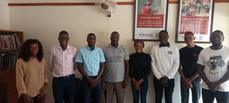
 About MapRI
At MapRI, we work with communities across Uganda to shape a more sustainable future.
By blending local knowledge with smart technology and research, we help people take the lead in protecting their environment and driving positive change where they live.


 OUR Pathways
What we do at MapRI
OUR Impact
What we have Achieved

Volunteers trained

Complete Projects

Award Won

Ongoing Project
OUR Projects
What we have Worked On


Wildfire Monitoring
In this project, we aim to develop a wildfire monitoring system using geospatial technology and machine learning to;
> predict the likelihood wildfire occurrence,
> detect and report wildfire occurences in near real-time,
within the protected areas of Budongo, Bugoma forests, Kabwoya game reserve, Murchison fall NP & Kibaale NP.
Mapping of Informal settlement in Hoima & Lira Cities
Mapping of 17 informal settlements in Hoima and Lira Cities. he project involves an in-depth field data collection of factors such as security of tenure, access to water and sanitation, economic activities, education, solid waste management, and service points, among others.

Main Title
Lorem ipsum dolor sit amet, consectetur adipiscing elit, sed do eiusmod tempor incididunt ut labore et dolore magna aliqua.
Main Title
Lorem ipsum dolor sit amet, consectetur adipiscing elit, sed do eiusmod tempor incididunt ut labore et dolore magna aliqua.